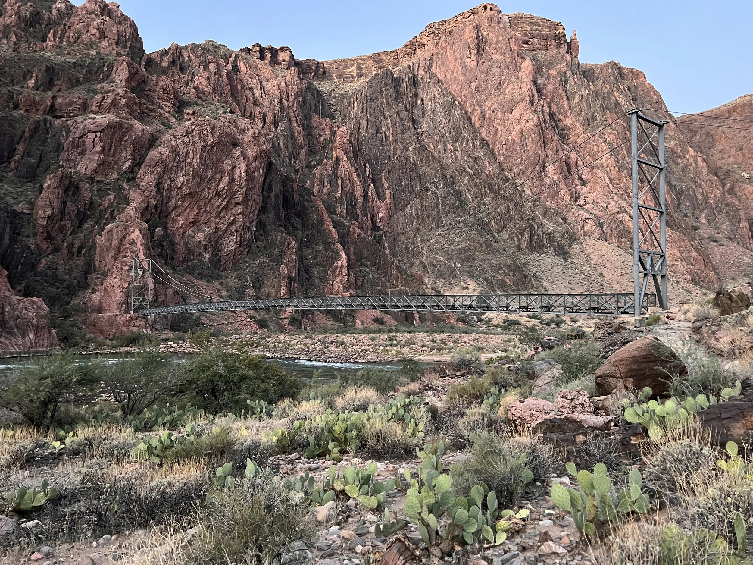
The Silver Bridge
Our first two days took us to the bottom of the canyon down the north Kaibab Trail. Days 3 and 4 would be the climb out of the canyon on the Bright Angel Trail—the real test of our conditioning and training. After the respiratory infection and my struggles in Phoenix before the hike, I had wondered how my lungs would handle the climb. I wasn't quite back to “normal,” but after two successful days in the canyon, I was feeling hopeful.
Day 3 started on a positive note – I slept extremely well! After the poor night sleep at Cottonwood Campground, I was concerned that the severe temperatures of Day 2 would translate to another hot night and poor sleep. Thankfully, I slept very well and woke up with renewed energy! Maybe the immersion in the cool stream waters also helped. As with our start of Day 2, we awoke early to start the ascent before the heat of the day set in. The tragedy of our lost dinner was already a fading memory!
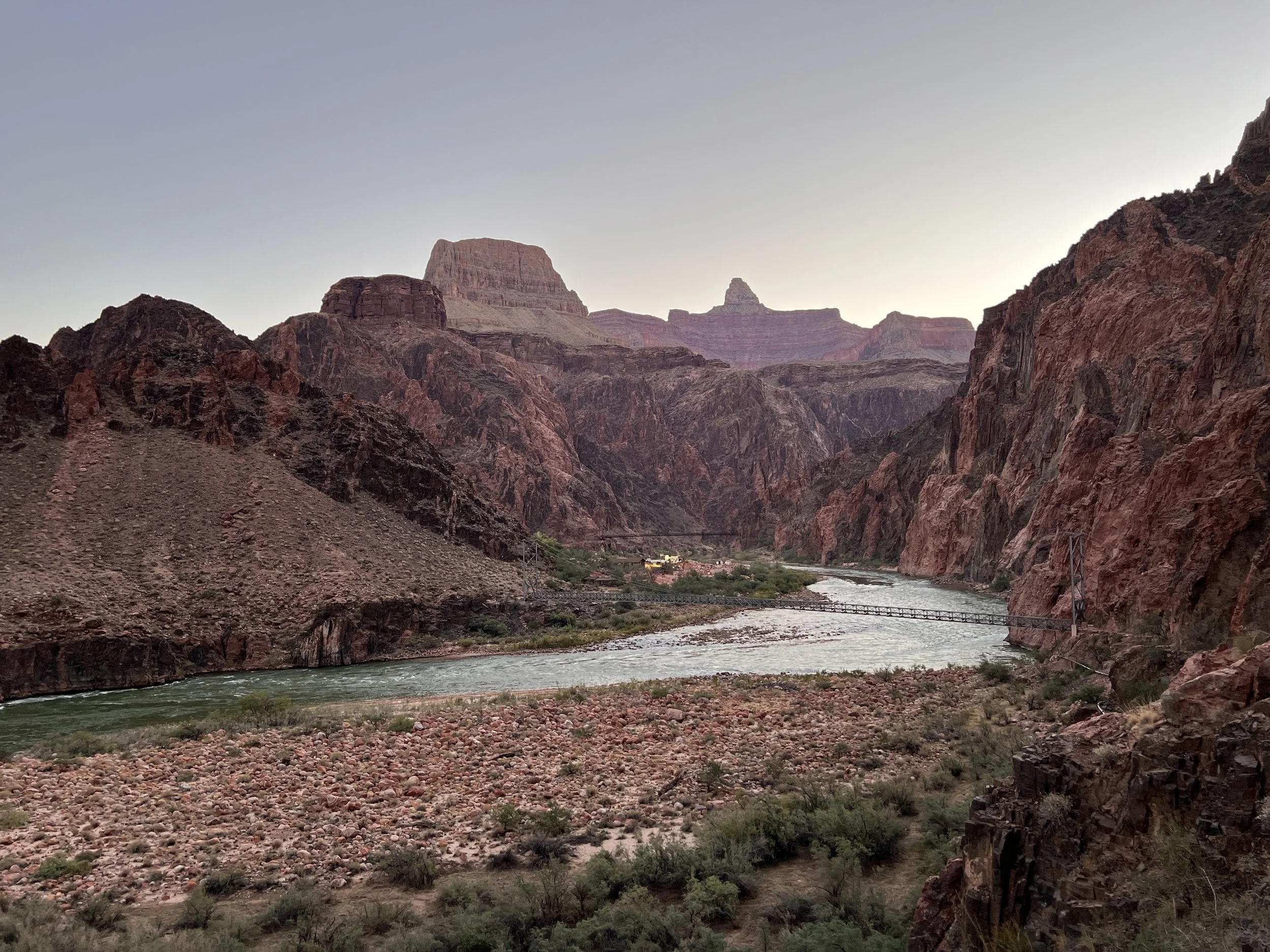
The hike from Bright Angel Campground towards the Silver Bridge
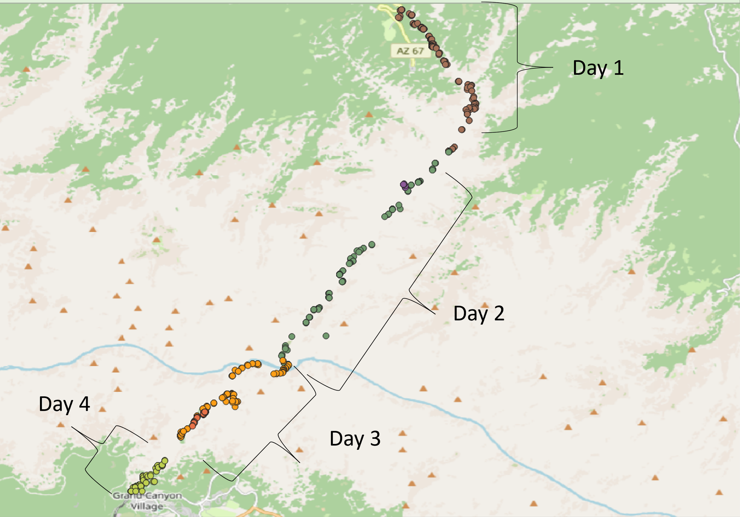
Geographical Tags of the entire hike based on photographs
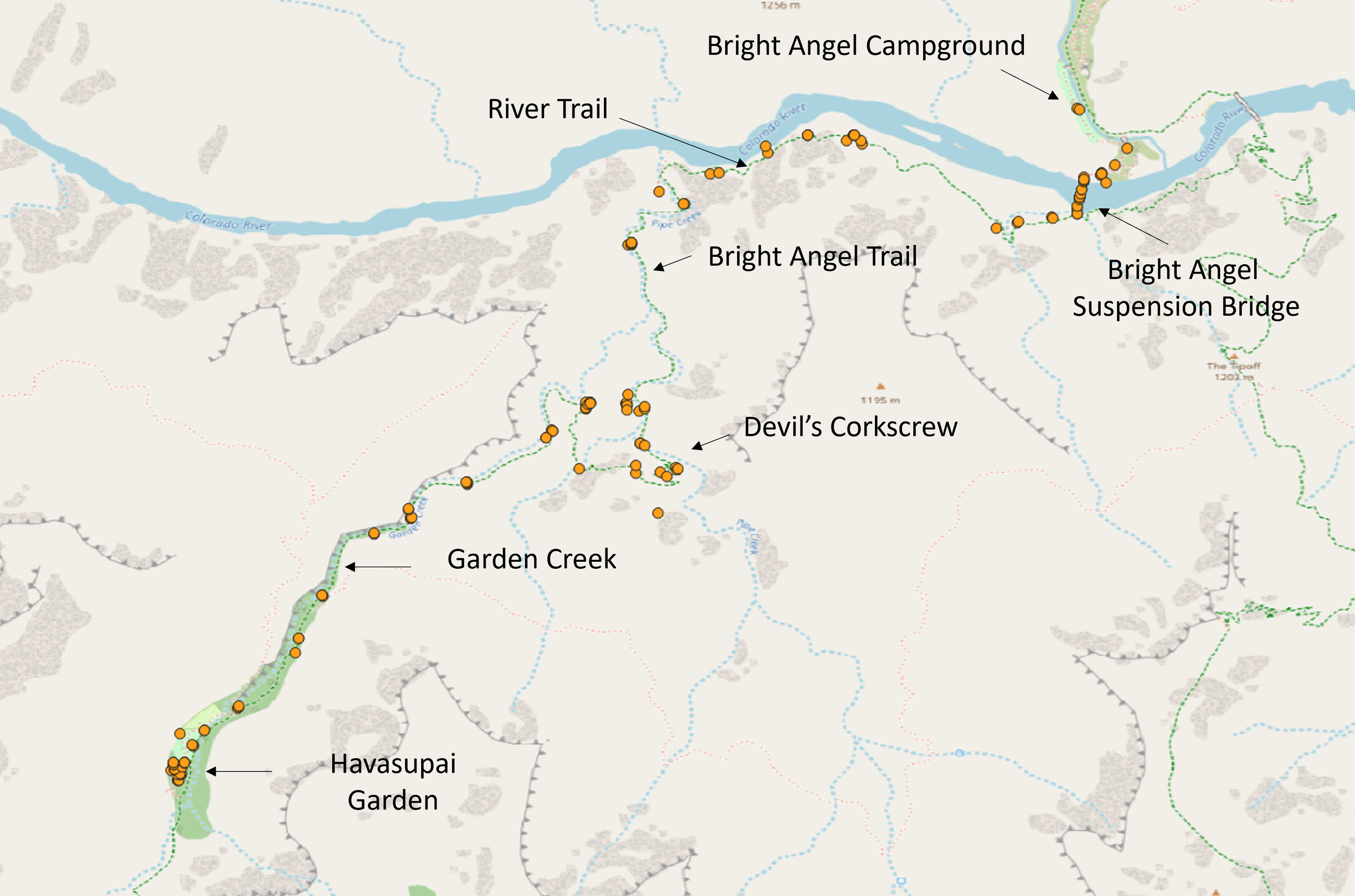
Day 3 route detailed via photograph locations
Route – Day 3
When you consider the distances we traveled, Day 3 seemed short but for some reason going up made the distances seem longer! Day 3 could be broken into four segments – the Colorado River, Bright Angel to the Devils Corkscrew, the Devils Corkscrew, and the hike along Garden Creek to Havasupai Garden Campground.
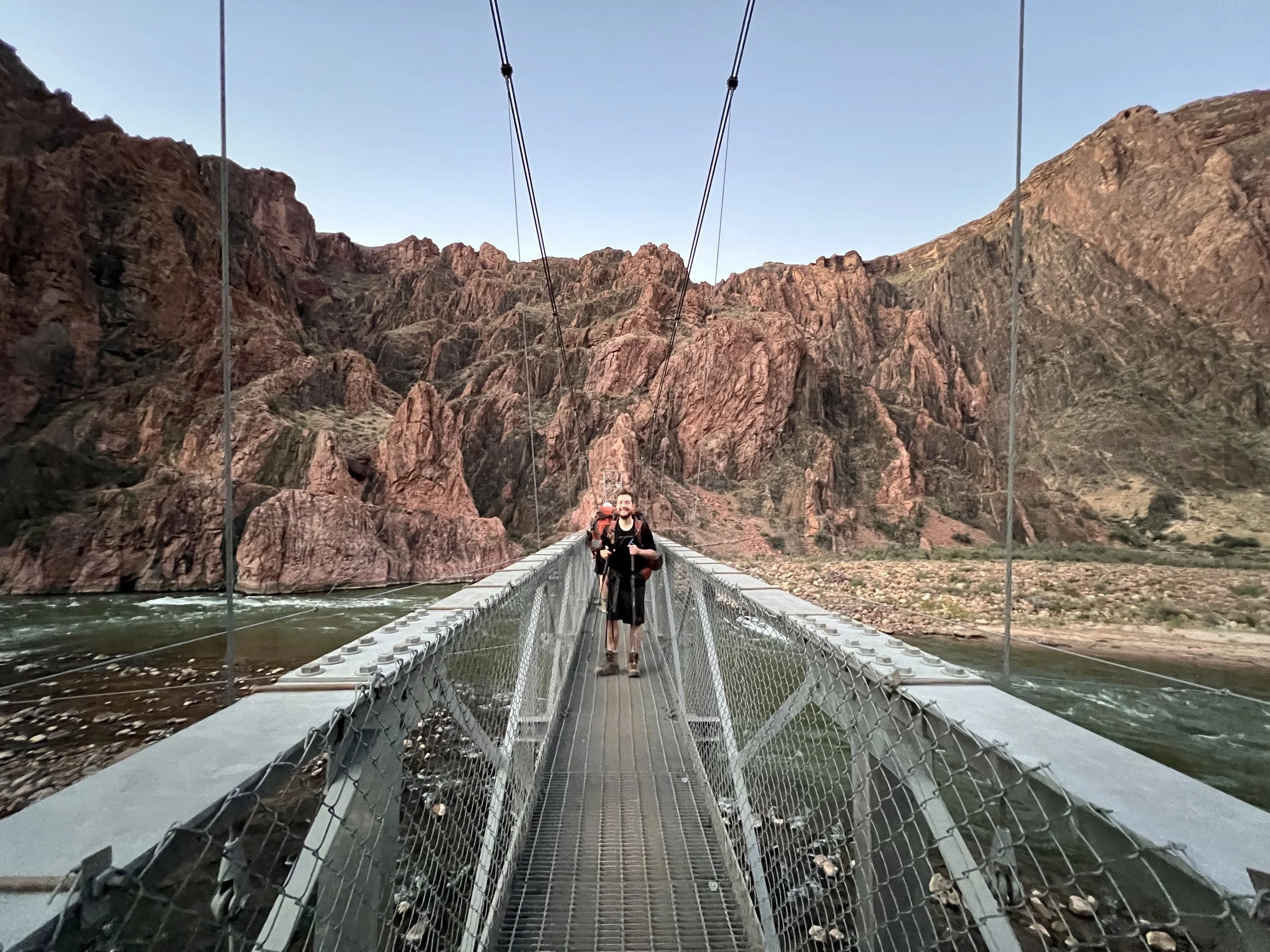
Wes crossing the Silver Bridge
There are two main ways to cross the Colorado River – the Silver and the Black suspension bridges. Our route took us across the Silver bridge. Though in principle, both bridges can accommodate the mules, the open floor of the Silver bridge is stressful for the mules. In contrast, the Black bridge has wooden planks and dirt, making it easier for the mules. This meant that for our travels out of the canyon, we would not encounter any mule trains (or their droppings)!
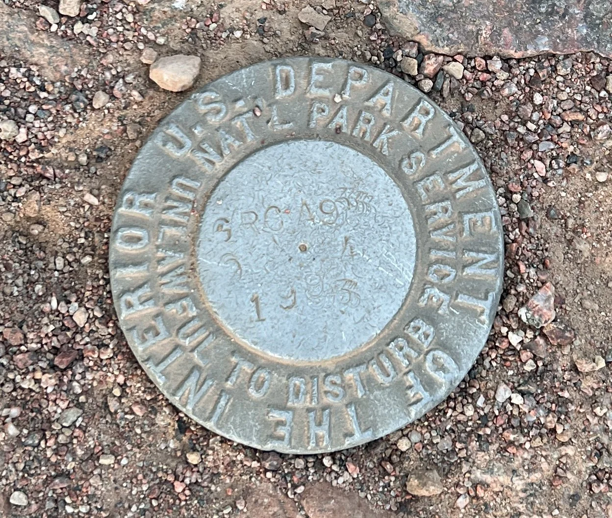
Survey Marker
Along the Colorado we occasionally encountered old Department of the Interior survey benchmarks embedded in the rock. This one, GRC 49, dates to 1933. These permanent reference points provided surveyors with known locations and elevations for mapping and studying the canyon. This one was close to the point where we left the river.
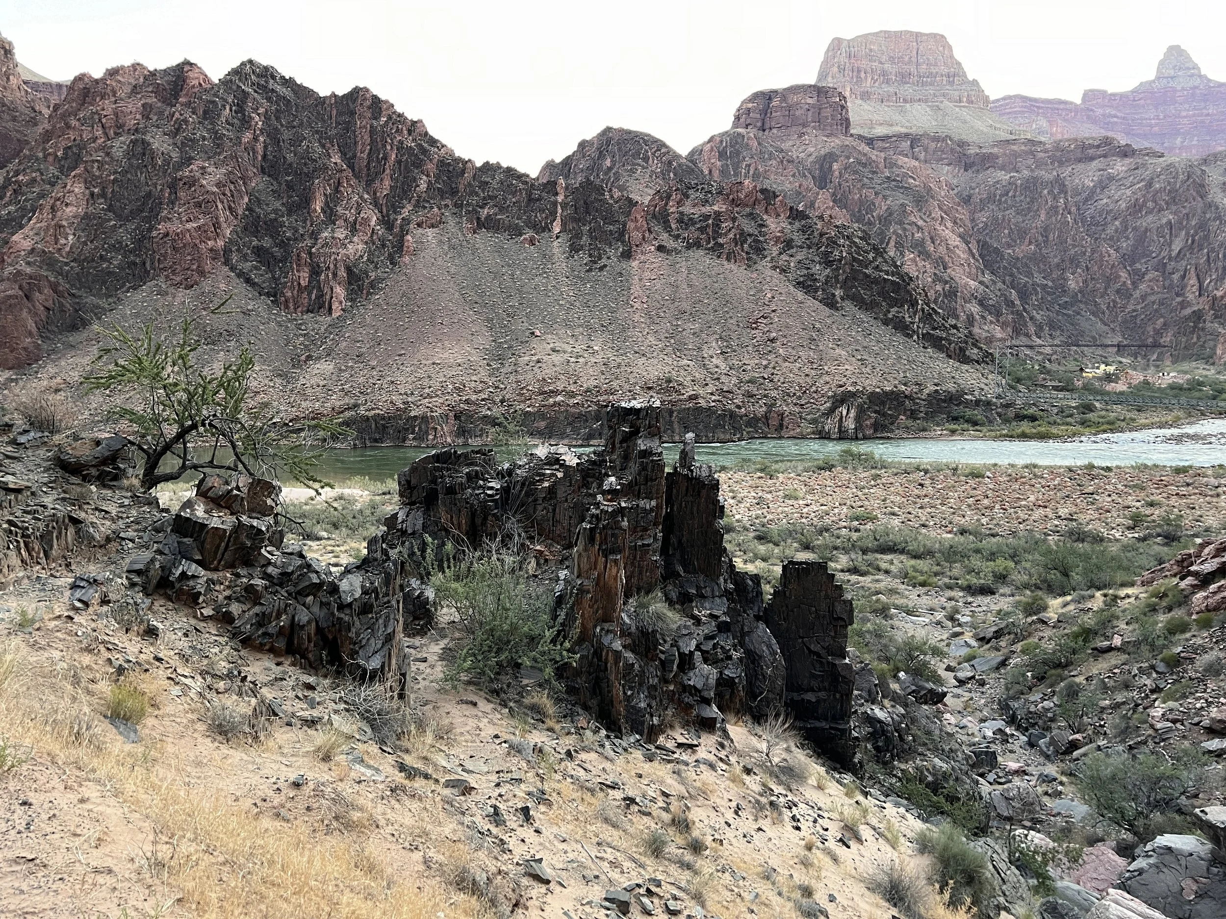
Interesting rocks along the Colorado River
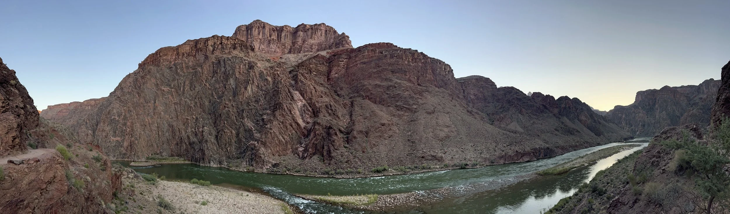
Panorama view of the Colorado River
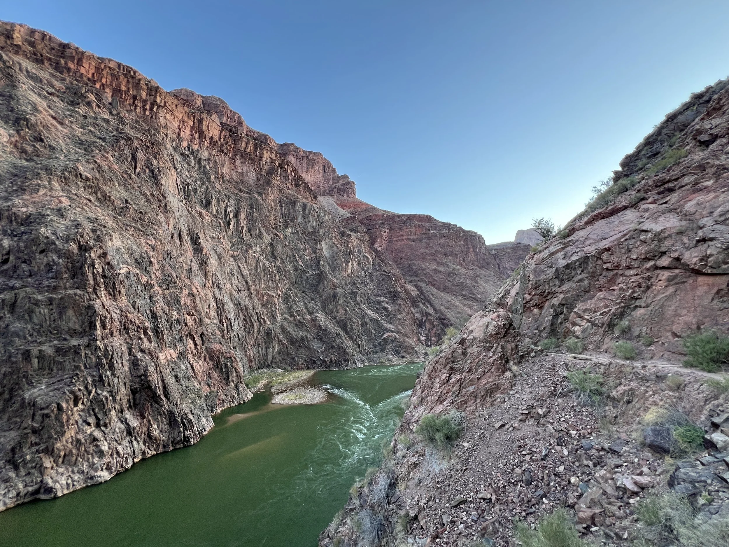
High Canyon walls along the Colorado River
The Colorado River, our companion for the start of the Day 3’s journey, gave essentially no climb for the first 1.5 miles of our hike. Even though much of Day 1 and 2 descent was along flowing water, the Colorado somehow seemed different. Maybe the knowledge that this river gradually carved the canyon over several millions of years left us with a sense of awe that was sobering. Whatever the reason, the hike along the Colorado seemed all too short. Before we knew it, we reached the junction that forced us to say goodbye to the river and start our ascent in earnest.
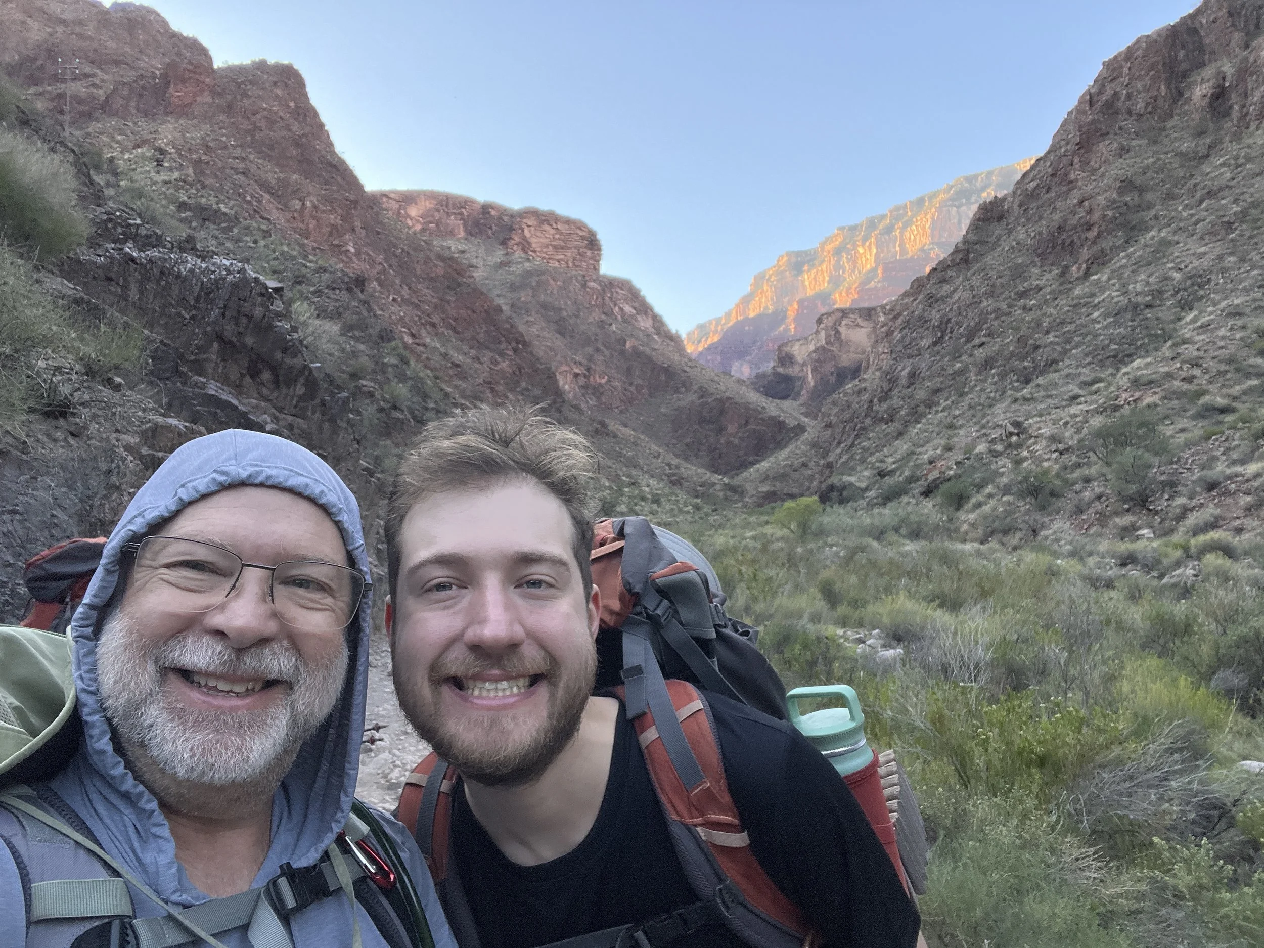
George and Wes before the ascent!
The hiker who ranked the AllTrails route as “easy”!
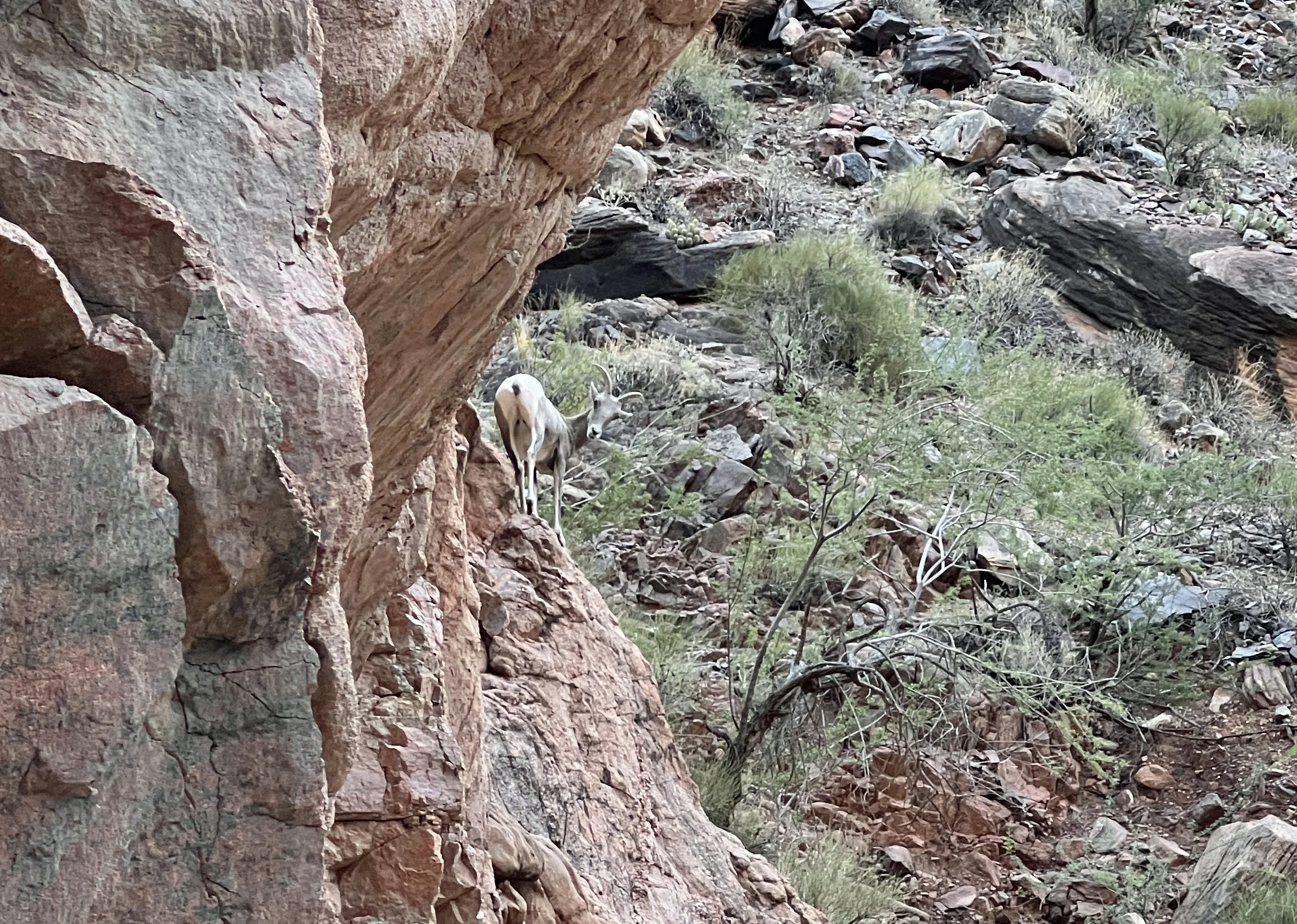
The Devil’s Corkscrew, the intense climb portion of day 3, was preceded a by gradual incline as we turned south from the river. The approach was about 0.5 miles long and only gained about 110 feet in elevation. The open walls that surrounded the Colorado River contracted to a tight canyon as we started to climb. We enjoyed seeing a family of mountain goats along the trail who were our companions as we approached the Devil’s Corkscrew.
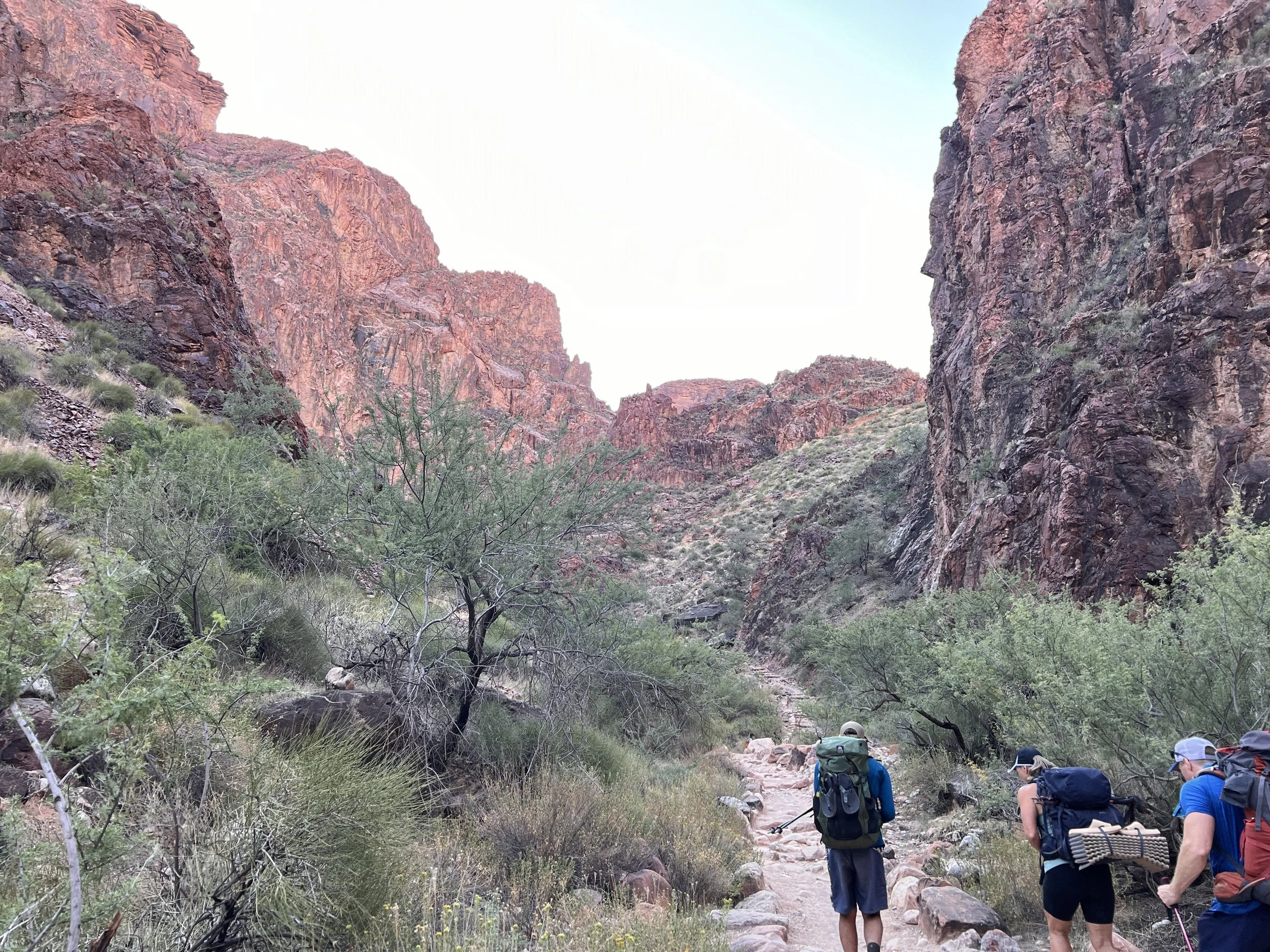
Starting the ascent
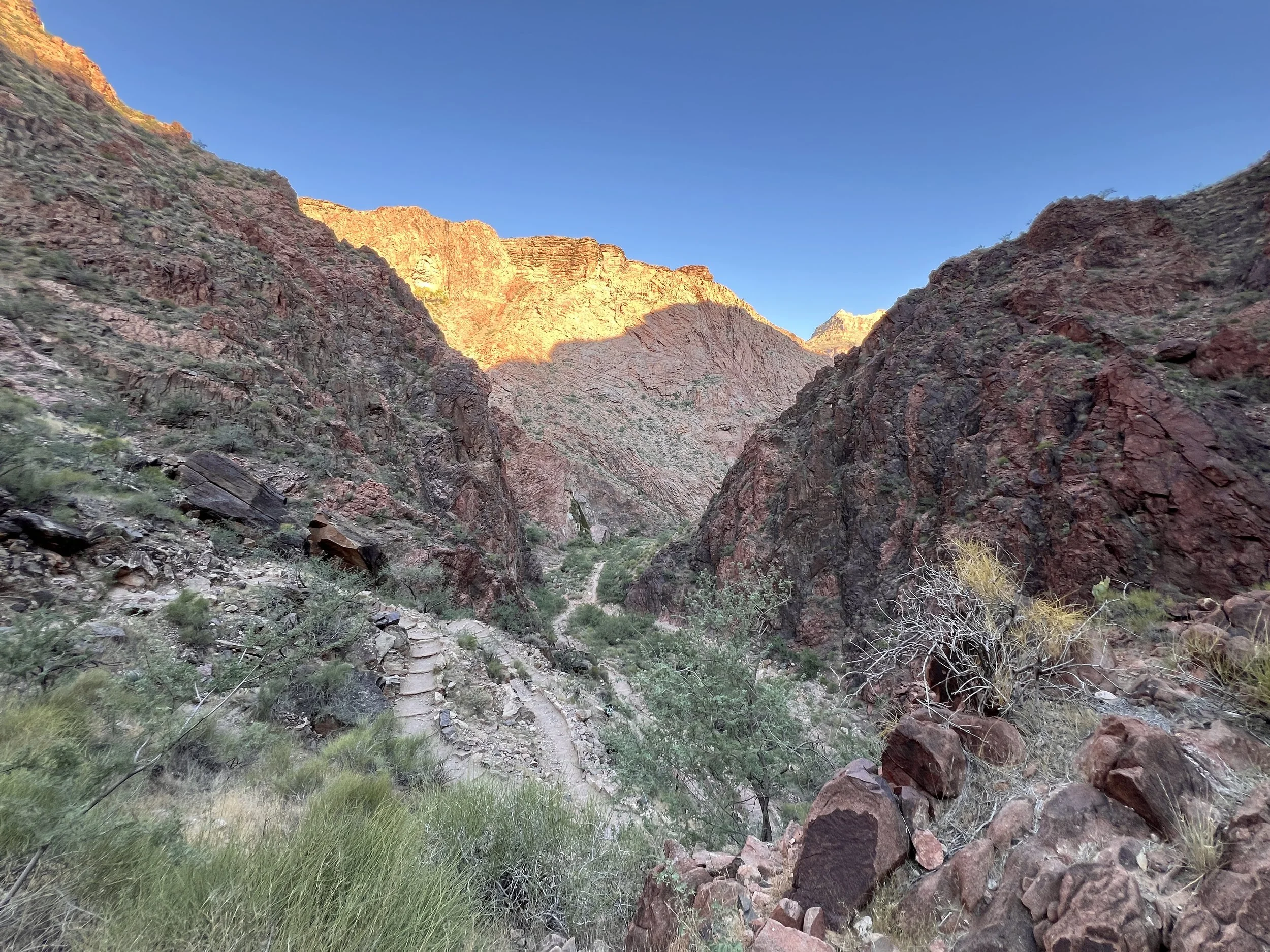
View down on the initial ascent
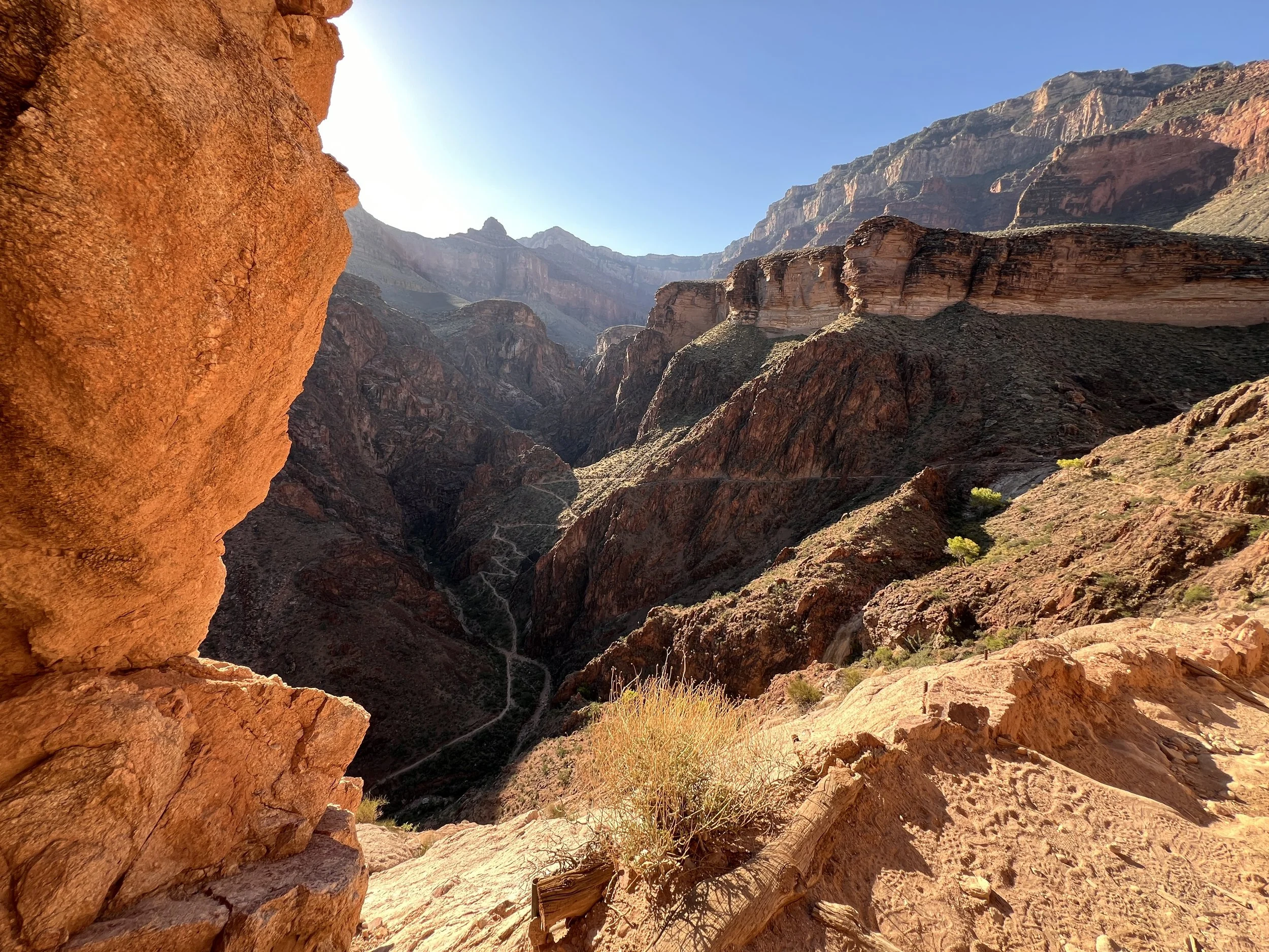
View of the Devil’s Corkscrew
The name, The Devil’s Corkscrew, originates from the way the trail winds up a canyon and the intense heat that the canyon experiences. Like The Box from the North Kaibab trail, the dark rocks absorb the sun’s light and re-radiates it as long-wavelength heat. Interestingly, the current trail was not the first trail that first held the name. A different nearby route, The Ghost Trail, was originally used by mules and people in the early 1900’s. This early Devil’s Corkscrew was so steep and dangerous that the riders often had to get off of their animals to guide them down the trail because the animals were afraid of the trail! When the National Park Service took control of the trails it built the current trail which was designed to be safer and more stable.
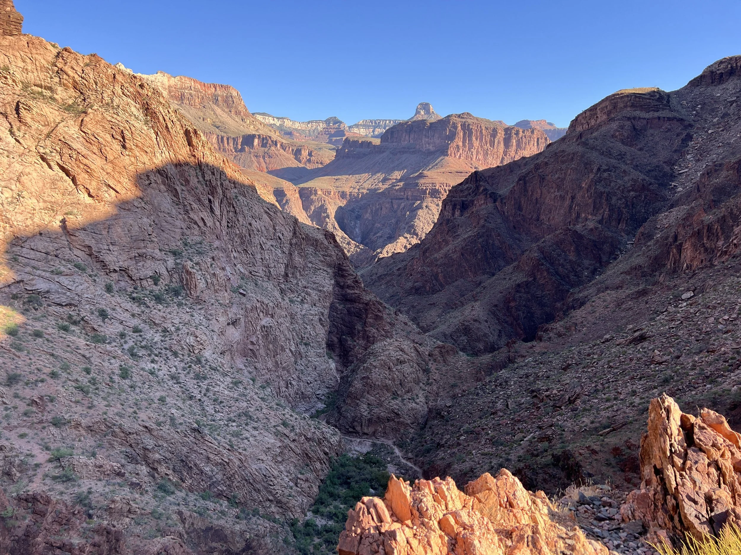
View from along the Devil’s Corkscrew
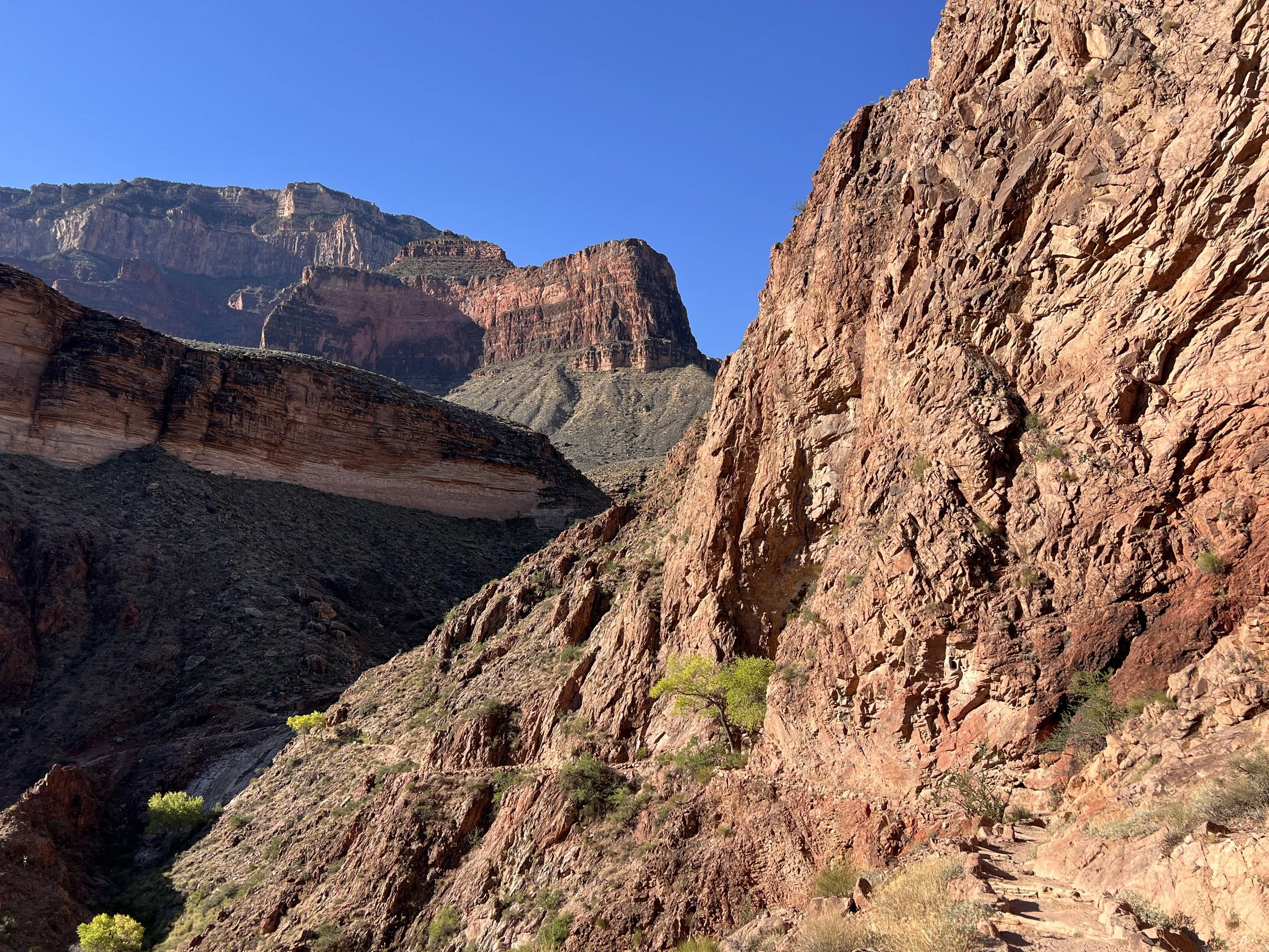
View from along the Devil’s Corkscrew
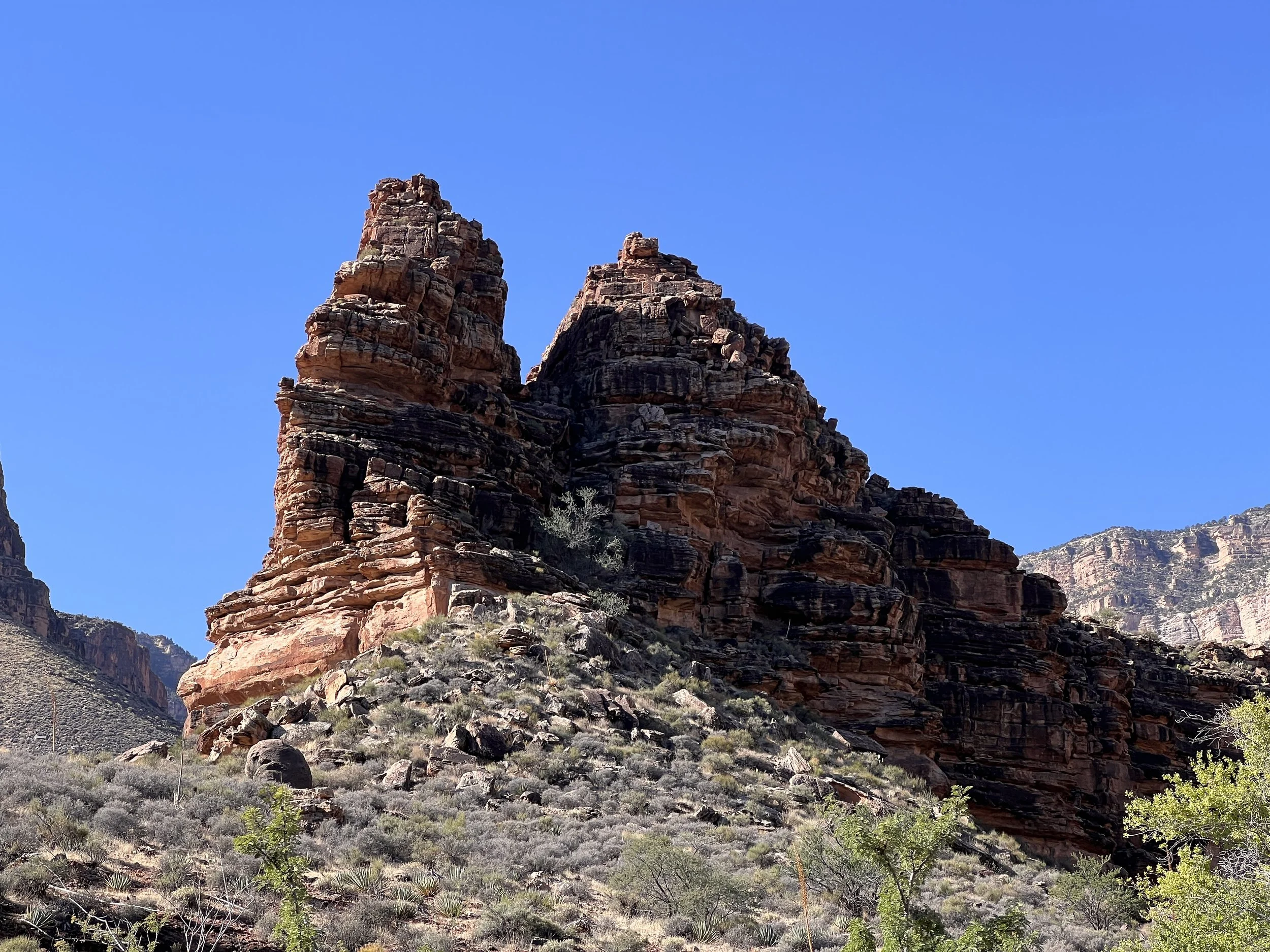
Rock formation along the Devil’s Corkscrew
The terrain and views along the trail were never stagnant. I noted this before as we descended into the canyon along the North Kaibab Trail. My penchant for viewing the world through a camera lens continued as we climbed. I couldn’t help obsessively taking in the view and trying to figure out where the next picture would come from. When I look back at maps with geolocation data showing where I took photos, I can’t help but wonder: what did I miss? I have thousands of photos from our journey, but I still wonder why I didn’t take pictures along this stretch or that one. Then I realized that an “empty” stretch was often just a few tenths of a mile!
Looking back, I can imagine myself walking through those empty stretches, searching for the next photo opportunity. Even though today I feel like something must be missing, I have confidence in Grand Canyon George and his ability to make sure the visual journey was complete!
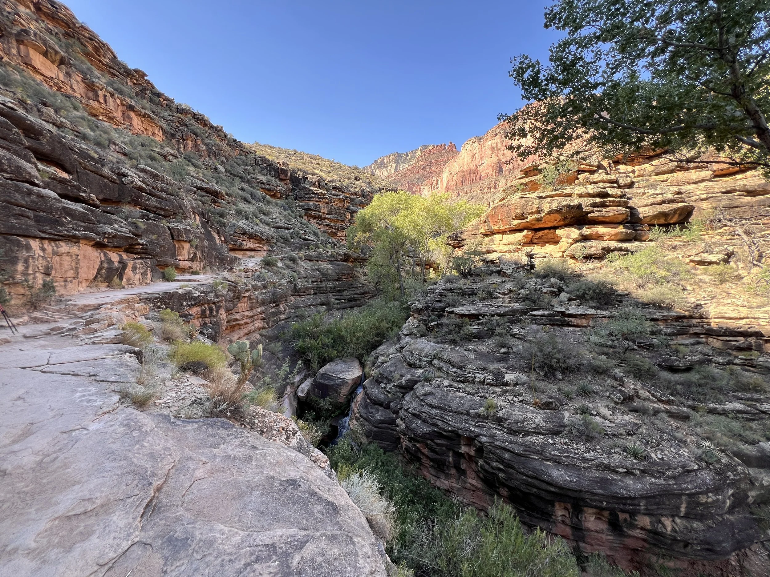
The ascent joining Garden Creek
The trail became lush and green as we exited the Devil’s Corkscrew and started along Garden Creek. Garden Creek is responsible for the oasis that is Havasupai Garden. It seemed like we had entered an entirely different world after being exposed to the hot rocks of the Devil’s Corkscrew. Green plants replaced the red rocks, and a cool breeze was often our companion as we climbed along the water.
It didn’t hurt to take breaks where we collapsed into the creek! During these breaks, we’d be passed by fellow hikers either heading down into the canyon or climbing out like us. Those going down didn’t seem to appreciate why we were lounging in the water, while those going up seemed to be debating whether to continue on or join us!
This final section of Day 3’s climb was about 2.1 miles long with another 600 feet of elevation gain. Even though the elevation gain was comparable to the Devil’s Corkscrew, gaining it over 2.5 times the distance was much easier on the body (and mind)!
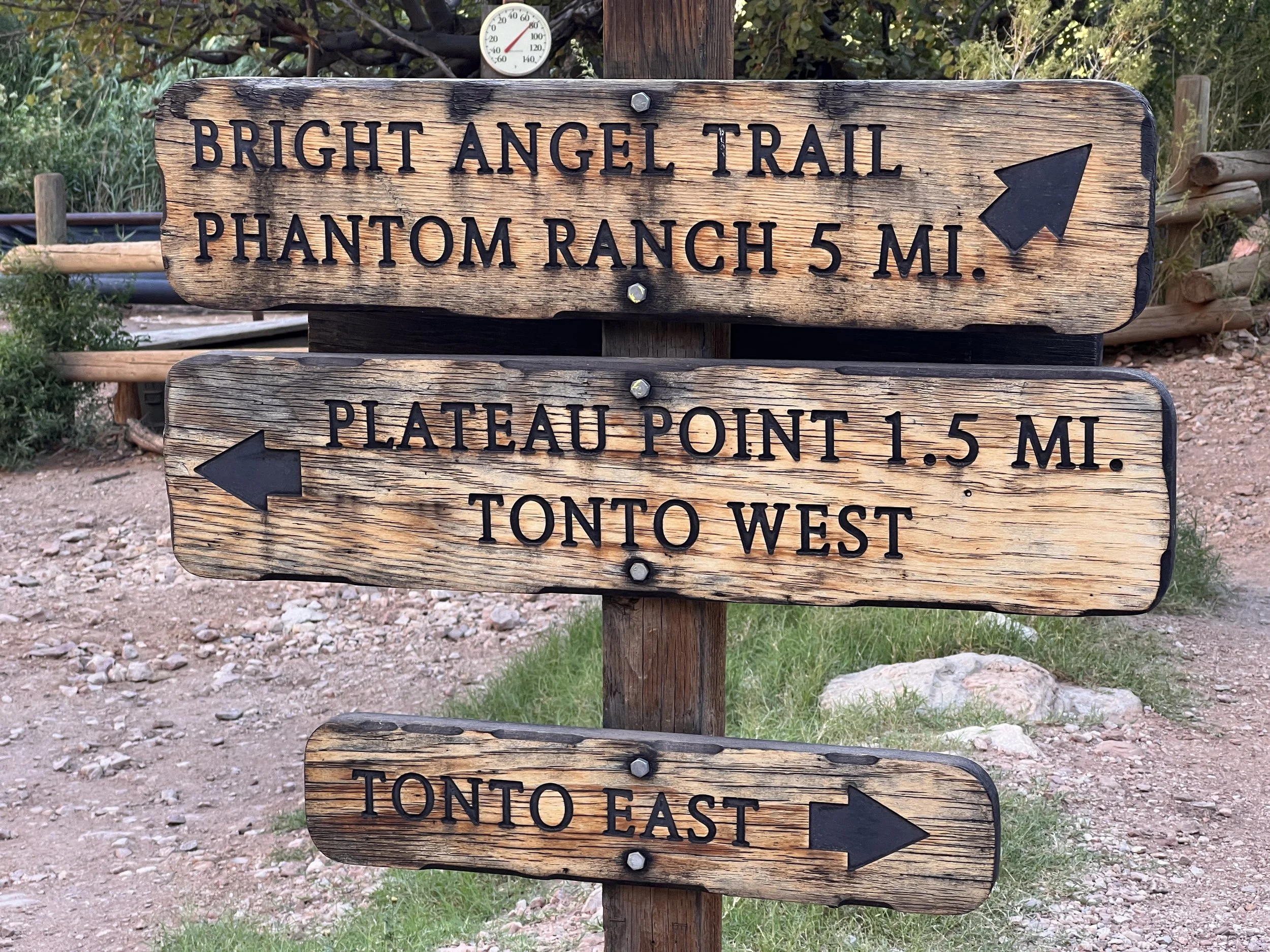
Trail sign outside Havasupai Garden Campground
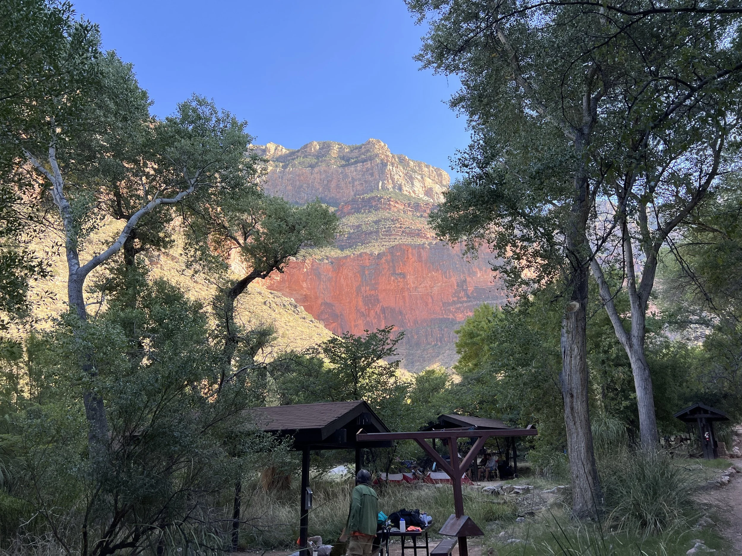
Havasupai Garden Campground
Our early start found us arriving at Havasupai Garden Campground at 10:30 in the morning! It was a bit strange to find ourselves with so much time on our hands. Wes and I explored the campground a bit and discovered a sliver of cell service, the first in the canyon. We used the connection to reassure our loved ones that we were in fact still alive!
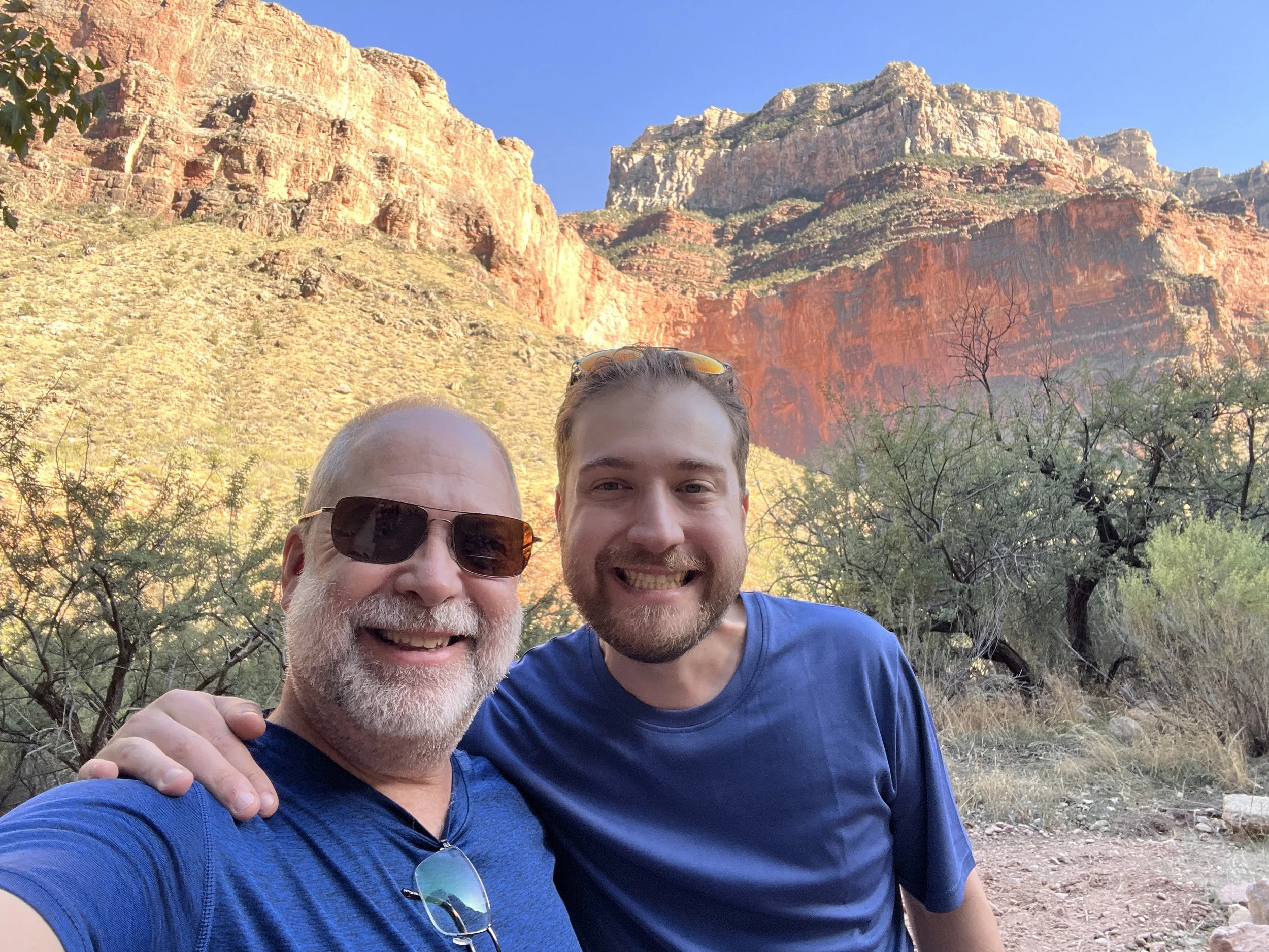
George and Wes refreshed after reaching Havasupai Garden Campground!
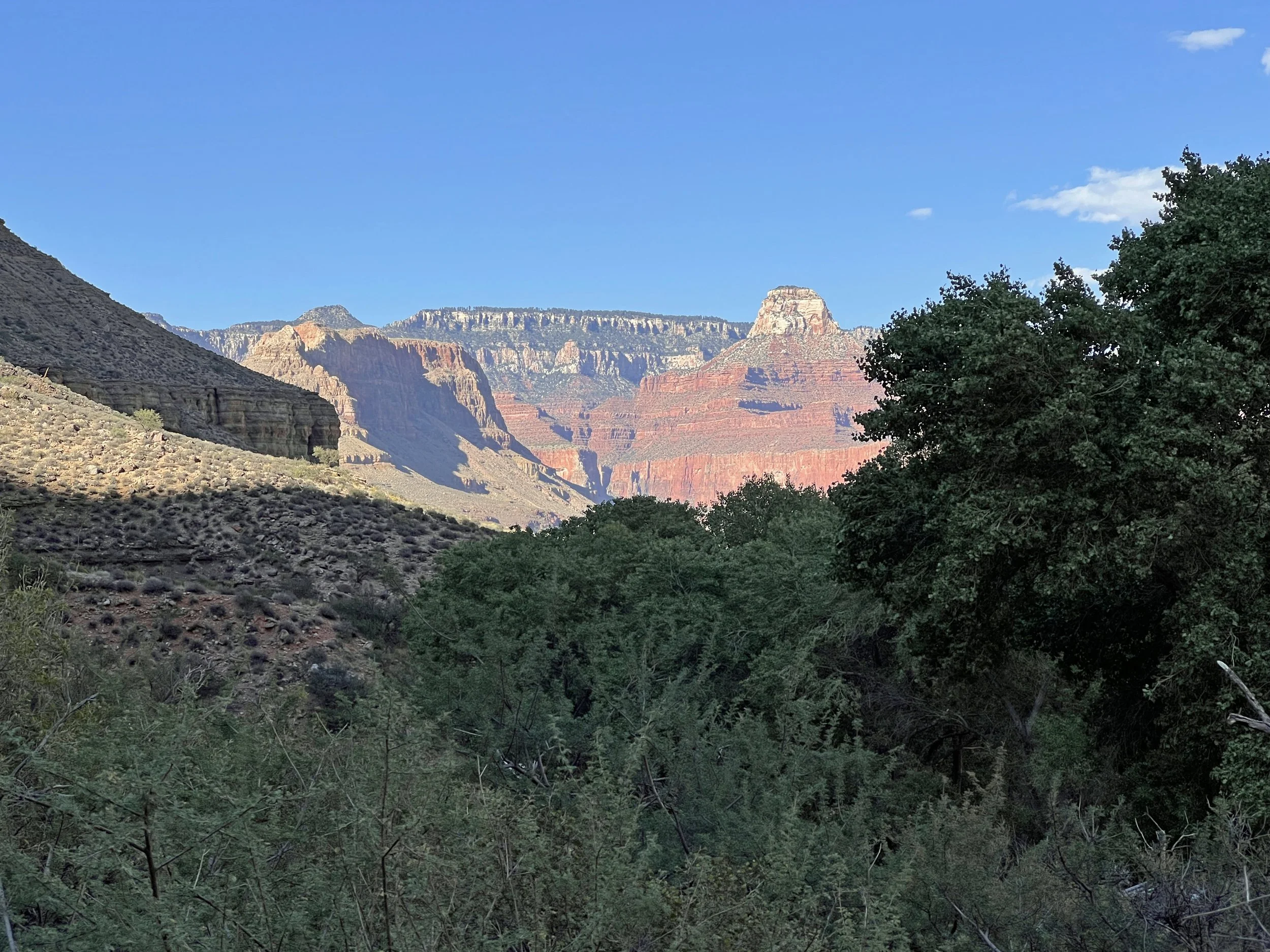
View of the Grand Canyon with the green of Havasupai Garden in the foreground.
The extra time also allowed me time for yoga with some of my fellow hikers. This was fun for me and allowed me to flex my handle – YogaGeorge with others who would benefit from the practice. We had a good time and felt much better for the time on the mat. Unfortunately, some folks from the neighboring campsites would have like to join in but were hesitant to approach us. Had I known there would be interest, I would have put out the invitation far and wide! The more, the merrier!
Day 3 had already been wonderful, but our guide had a special picnic in store for dinner in a spot that Wes has said was the most profoundly beautiful part of the trip.
Until then, thanks for following!
YogaGeorge
ps. Many thanks for the continued feedback and edit suggestions from Wes! It is appreciated!